Am I Rural? – Report
Report produced by the Rural Health Information Hub on 04/23/24.
Bethel Census Area *
Latitude: 60.8103
Longitude: -159.8038
Census Tract:
02050000100 (2010 & 2020)
County:
Bethel Census Area, AK
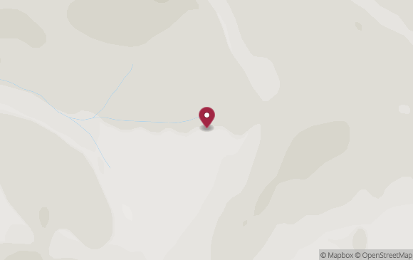
* Report is for a specific point in Bethel Census Area. Results may not be the same for all points in Bethel Census Area.
| How Your Location is Defined | |
|---|---|
|
Core Based Statistical Areas (CBSAs), 2023 Data Source: 2023 TIGER/Line, U.S. Census Bureau |
Nonmetropolitan - not located in a metropolitan or micropolitan area. |
|
Urban Areas, 2020 Data Source: 2023 TIGER/Line, U.S. Census Bureau |
Not located in an Urban Area. |
|
Federal Office of Rural Health Policy (FORHP) defined rural areas Data Source: List provided by the Federal Office of Rural Health Policy |
Bethel Census Area, AK has been designated by FORHP as rural. |
|
Frontier and Remote Area (FAR) 2010 Data Source: Frontier and Remote Area Codes, Economic Research Service |
|
|
Rural Urban Commuting Areas (RUCAs) by 2010 census tract Data Source: Rural-Urban Commuting Area Codes, Economic Research Service |
|
|
Rural Urban Continuum Codes (RUCCs) 2023 Data Source: Economic Research Service |
RUCCs are assigned at the county level.
Information for Bethel Census Area
|
|
Urban Influence Codes (UICs) 2013 Data Source: Economic Research Service |
Information for Bethel Census Area
|
|
Census 2020, Percent Rural Data Source: Urban and Rural, U.S. Census Bureau |
Information for Bethel Census Area
|
| The information provided by this service addresses only the rural aspect of a program's requirements. Your Am I Rural? report is not a guarantee of your rural status. Please check with the program contacts directly to verify your eligibility for specific federal programs. | ||
| Program | Rural? | |
|---|---|---|
| FORHP - Grant Programs | YES |
This location is eligible for Federal Office of Rural Health
Policy grant programs.
Bethel Census Area, AK has been designated by FORHP as rural. (For FY23 grant cycle) |
| CMS - Rural Health Clinics (RHC) Program | YES |
CMS interim guidance considers a
location to meet the rural location requirement for the RHC program if it is outside of an urbanized
area in the 2010 Census Bureau data OR if it is outside of an urban area in the 2020 Census Bureau data.
|
For data sources and definitions, see the Rural Classifications help section.