Am I Rural? – Report
Report produced by the Rural Health Information Hub on 07/14/25.
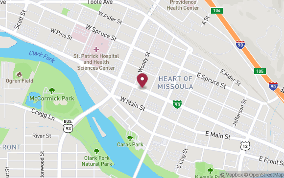
Missoula, MT *
Latitude: 46.87278
Longitude: -113.99625
Census Tract:
30063000300 (2010 & 2020)
County:
Missoula County, MT
* Report is for a specific point in Missoula, MT. Results may not be the same for all points in Missoula, MT.
| How Your Location is Defined | |
|---|---|
|
Core Based Statistical Areas (CBSAs), 2023 Data Source: 2023 TIGER/Line, U.S. Census Bureau |
|
|
Urban Areas, 2020 Data Source: 2023 TIGER/Line, U.S. Census Bureau |
Located within an Urban Area.
|
|
Federal Office of Rural Health Policy (FORHP) defined rural areas Data Source: List provided by the Federal Office of Rural Health Policy - updated 11/21/2024 |
Not in a county or 2010 census tract that has been designated by FORHP as rural. |
|
Frontier and Remote Area (FAR) 2010 Data Source: Frontier and Remote Area Codes, Economic Research Service |
Note: FAR levels are based on 2010 ZIP codes, which may be different than what the location currently uses ZIP code (2010): 59802
For a full list of FAR ZIP codes, see: Frontier and Remote Area Codes, Economic Research Service. |
|
Rural Urban Commuting Areas (RUCAs) by 2010 census tract Data Source: Rural-Urban Commuting Area Codes, Economic Research Service |
|
|
Rural Urban Continuum Codes (RUCCs) 2023 Data Source: Economic Research Service |
RUCCs are assigned at the county level.
Information for Missoula County
|
|
Urban Influence Codes (UICs) 2024 Data Source: Economic Research Service |
Information for Missoula County
|
|
Census 2020, Percent Rural Data Source: Urban and Rural, U.S. Census Bureau |
Information for Missoula County
|
| The information provided by this service addresses only the rural aspect of a program's requirements. Your Am I Rural? report is not a guarantee of your rural status. Please check with the program contacts directly to verify your eligibility for specific federal programs. | ||
| Program | Rural? | Explanation |
|---|---|---|
| CMS - Rural Health Clinics (RHC) Program | NO |
CMS interim guidance considers a
location to meet the rural location requirement for the RHC program if it is outside of an urbanized
area in the 2010 Census Bureau data OR if it is outside of an urban area in the 2020 Census Bureau data.
|
| Area Type | Details | |
|---|---|---|
| Primary Care Health Professional Shortage Area (HPSA) | YES |
Name: LI-Missoula County
ID: 1302816790 Type: HPSA Population Population: Low Income Population HPSA Score: 14 Date of Designation: March 3, 2022 Last Update: March 3, 2022 |
| Dental Care HPSA | YES |
Name: LI - Missoula County
ID: 6301874835 Type: HPSA Population Population: Low Income Population HPSA Score: 12 Date of Designation: August 2, 2018 Last Update: September 10, 2021 |
| Mental Health HPSA | YES |
Name: LI - Missoula County
ID: 7307316283 Type: HPSA Population Population: Low Income Population HPSA Score: 17 Date of Designation: November 20, 2007 Last Update: July 2, 2021 |
| Medically Underserved Area/Population | YES |
Name: MISSOULA SERVICE AREA
ID: 01986 Type: Medically Underserved Area – Governor’s Exception Score: 0 Date of Designation: June 24, 1992 Last Update: February 3, 1994 |
For data sources and definitions, see the Rural Classifications help section.