Am I Rural? – Report
Report produced by the Rural Health Information Hub on 07/05/25.
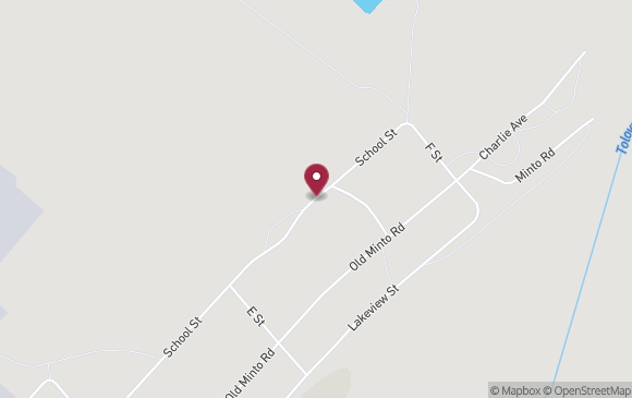
Minto, AK *
Latitude: 65.15223
Longitude: -149.34671
Census Tract:
02290000200 (2010 & 2020)
County:
Yukon-Koyukuk Census Area, AK
* Report is for a specific point in Minto, AK. Results may not be the same for all points in Minto, AK.
| How Your Location is Defined | |
|---|---|
|
Core Based Statistical Areas (CBSAs), 2023 Data Source: 2023 TIGER/Line, U.S. Census Bureau |
Nonmetropolitan - not located in a metropolitan or micropolitan area. |
|
Urban Areas, 2020 Data Source: 2023 TIGER/Line, U.S. Census Bureau |
Not located in an Urban Area. |
|
Federal Office of Rural Health Policy (FORHP) defined rural areas Data Source: List provided by the Federal Office of Rural Health Policy - updated 11/21/2024 |
Yukon-Koyukuk Census Area, AK has been designated by FORHP as rural. |
|
Frontier and Remote Area (FAR) 2010 Data Source: Frontier and Remote Area Codes, Economic Research Service |
Note: FAR levels are based on 2010 ZIP codes, which may be different than what the location currently uses ZIP code (2010): 99758
For a full list of FAR ZIP codes, see: Frontier and Remote Area Codes, Economic Research Service. |
|
Rural Urban Commuting Areas (RUCAs) by 2010 census tract Data Source: Rural-Urban Commuting Area Codes, Economic Research Service |
|
|
Rural Urban Continuum Codes (RUCCs) 2023 Data Source: Economic Research Service |
RUCCs are assigned at the county level.
Information for Yukon-Koyukuk Census Area
|
|
Urban Influence Codes (UICs) 2024 Data Source: Economic Research Service |
Information for Yukon-Koyukuk Census Area
|
|
Census 2020, Percent Rural Data Source: Urban and Rural, U.S. Census Bureau |
Information for Yukon-Koyukuk Census Area
|
| The information provided by this service addresses only the rural aspect of a program's requirements. Your Am I Rural? report is not a guarantee of your rural status. Please check with the program contacts directly to verify your eligibility for specific federal programs. | ||
| Program | Rural? | Explanation |
|---|---|---|
| CMS - Rural Health Clinics (RHC) Program | YES |
CMS interim guidance considers a
location to meet the rural location requirement for the RHC program if it is outside of an urbanized
area in the 2010 Census Bureau data OR if it is outside of an urban area in the 2020 Census Bureau data.
|
| Area Type | Details | |
|---|---|---|
| Primary Care Health Professional Shortage Area (HPSA) | YES |
Name: Yukon-Koyukuk Census Area
ID: 1025407997 Type: Geographic HPSA Score: 13 Date of Designation: March 14, 1984 Last Update: February 11, 2025 |
| Dental Care HPSA | YES |
Name: Yukon-Koyukuk Census Area
ID: 6023020801 Type: Geographic HPSA Score: 20 Date of Designation: July 28, 1978 Last Update: May 28, 2025 |
| Mental Health HPSA | YES |
Name: Yukon-Koyukuk Census Area
ID: 7027811679 Type: Geographic HPSA Score: 16 Date of Designation: October 4, 2022 Last Update: May 28, 2025 |
| Medically Underserved Area/Population | YES |
Name: Koyukuk-middle Yokon
ID: 00110 Type: Medically Underserved Area Score: 59.9000015 Date of Designation: June 8, 1994 Last Update: June 8, 1994 |
For data sources and definitions, see the Rural Classifications help section.